
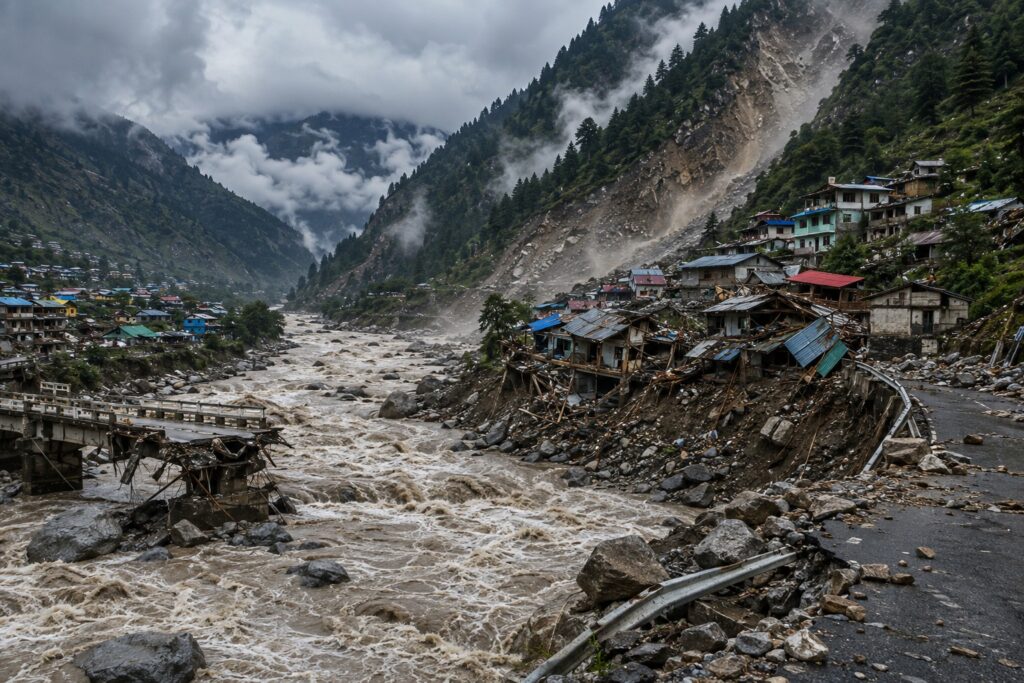
Dharali-like Disaster Awaits In Uttarakhand: Uttarakhand is once again facing the threat of a natural disaster like Dharali. Due to this, the State Disaster Management Authority has expressed concern about the danger of debris flows in the border mountainous regions of the state. Based on geo-spatial mapping and field assessment, a list of 49 locations in Uttarkashi, Chamoli, and Pithoragarh districts has been compiled where there is a possibility of significant devastation due to rapid debris flows in the near future. Of these, 11 have been declared high-risk zones.
One year later, the mountains still remember. So do the families waiting for their loved ones
— Ankit Sharma (@ankitsharmauk) August 5, 2026
This day, last year – On August 5, 2025, a catastrophic debris flow from the Kheer Ganga Valley devastated Dharali, Uttarkashi.
70+ still missing/dead
Nearly 251,000 tons of debris… pic.twitter.com/oIp3fXpRTj
Chamoli (total 22 locations)
- High Risk (4): Hanuman Chatti, Jalam, Pulna, and Ghastoli.
- Medium Risk (14): Chai Joshimath, Pandukeshwar, Ghangaria, Badrinath, Malari, Mandal, Dronagiri, etc.
- Low Risk (4): Malkot, Dhunar Ghat, Trikot, and Gauchar.
Pithoragarh (total 16 locations):
- High Risk (6): Sobla, Dapha, Suwa, Sundung, Dhunapani, and Galati.
- Medium Risk (9): Baram, Madkot, Nabhi, Mallya, etc.
- Low Risk (1): Tanga.
Uttarkashi (11 locations):
- High Risk (1): Sayanachatti.
- Medium Risk (7): Jankichatti, Harshil, Jhala, Gangori, etc.
- Low Risk (3): Kathonar, Kharsali, and Gangotri.
The study conducted by the State Disaster Management Authority closely examined the area’s topography, old landslide scars, glaciers, drainage channels, existing population and roads. Of the 49 vulnerable locations identified by the department, 11 have been categorized as high risk, 30 as medium risk, and 8 as low risk. Disaster Management Secretary Vinod Suman stated that the District Magistrates have been instructed to assess the ground conditions at these identified locations and prepare a detailed risk mitigation report, which will be submitted to the government.
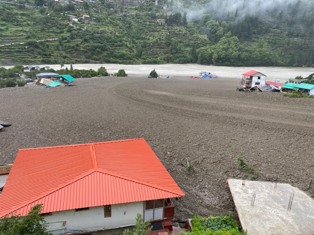
The report released by the department raises the greatest concern about the Char Dham Yatra and national highways. According to the report, many high-risk zones are located directly above the main national highways, bridges, and local settlements leading to Badrinath and Gangotri, posing a threat to the Char Dham Yatra.
- Oth Village and Hanuman Chatti: Here, there is a direct threat of bridge collapse and landslides due to river erosion, which could disrupt the Badrinath Yatra.
- Paturi Village: Debris from the moraine deposited on the hill could flow directly towards the village below and the Alaknanda River, posing a serious threat.
- Sayanachatti: This stopover in Uttarkashi is in the high-risk category, where debris flows could cause significant damage to the population and the NH corridor.