
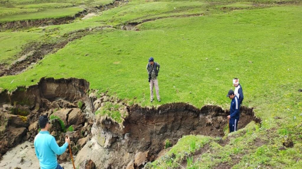
The world-famous Dayara Bugyal, located in the Uttarkashi district of Uttarakhand, is currently experiencing landslides and subsidence due to incessant rainfall, which is becoming a growing concern. The Forest Department has also geared up to address this. Deep ravines have formed throughout this 406-hectare Himalayan grassland (Bugyal). This not only threatens the Bugyal’s biodiversity and natural beauty, but also the annual influx of silt into the Papadgaad Valley, causing rapid subsidence in the lower areas of Dhiyana, Barnala, Goi, Naheta, and Chilpara, creating large ravines that are increasing the risk of disasters.
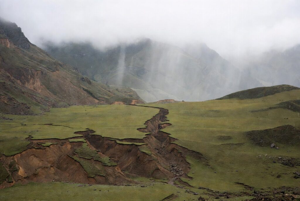
Villagers say that the threat of landslides has persisted since the 2012-2013 disaster. However, in the past two to three years, soil erosion has caused trenches to form in Naheta and Chilpara, near Dhian Bugyal. The debris flowing from here flows into the Papadagad River every year, causing a disaster. Similarly, in the dense forests of Naheta, forest resources are being damaged due to subsidence and landslides.
In 2020, the Forest Department, in collaboration with the Wildlife Institute of India and USAC, attempted to prevent this by constructing eco-friendly care nets made of jute and coconut fibers and check dams made of sawdust in an area of approximately 600 meters. This was successful in that area. However, in 2024 and 2025, the highest number of landslides and landslides were observed in other Bugyal areas, including Naheta and Chilpara.